Darryl Zubot is a commercial pilot and aerial photographer who has been working in the industry for over ten years. His passion for adventure and travel, combined with flying abilities and an eye to capture unique imagery, have culminated into his company Z-Air. Zubot has been contracted to photograph a broad variety of areas including resource utilization which has been increasingly a focal point of his aerial surveying.
©Untold Storytelling
©Untold Storytelling
Process
The process begins with Greenlink Forestry sending Z-Air a shape file of the area required to map. Greenlink will specify the ground sample distance (GSD) to capture. For example, if they require a 30cm GSD, this would mean that every pixel from the camera would equal 30cm on the ground. This GSD will determine what elevation to fly in order to capture the data required. High resolution work is typically flown at 1,000ft above ground level (AGL), and low resolution work is flown at 15,000ft AGL. The majority of the forestry work for Greenlink is low resolution, flying at elevations of 10,000ft to 16,000ft AGL.
Once the altitude to capture the data is determined, Z-Air will create flight lines. These flight lines typically capture the data with 80/40 overlap. This means that there is an 80% forward overlap and a 40% side overlap of the images, this allows specialized software to stitch together the images into a map. These flight lines are created using specialized flight planning software developed by Aeroscientific, a company based in Australia. Once the flight lines are created the project file is saved onto an SD card and imported into the aircraft’s survey computer.
©Untold Storytelling
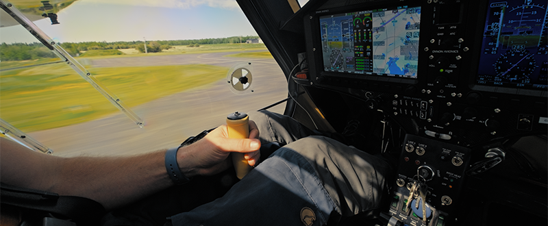
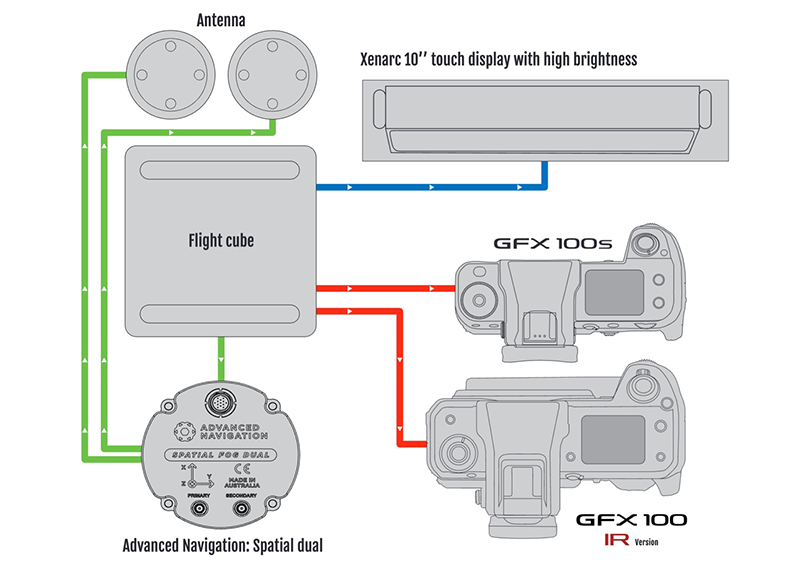
The survey computer, which is mounted inside Z-Air’s aircraft, is connected to both the FUJIFILM GFX100S and FUJIFILM GFX100 IR camera. There is also a connection to a GPS device which records the precise position when an image is taken. Both cameras are synced together and capture images at the same time. The GPS records the precise position the aircraft is in when the image is taken. This data is used for the creation of the map to ensure accurate positioning data within the map.
Completion
Once the flight is complete and the data captured, we will import the RGB and IR images into our desktop computer. Specialized software from Aeroscientific, Aero Align, is used once again. This software overlaps the RGB image on top of the IR image and creates a 4 band image. Once this process is complete Z-Air saves the data onto a hard drive and sends the 4 band images and gps file to Greenlink for further processing. Greenlink will then further work with the data to create the maps required for the end client.
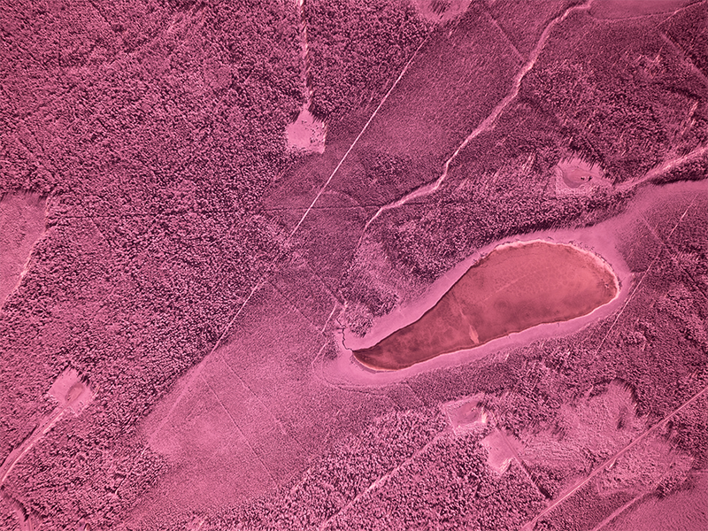
RAW Image
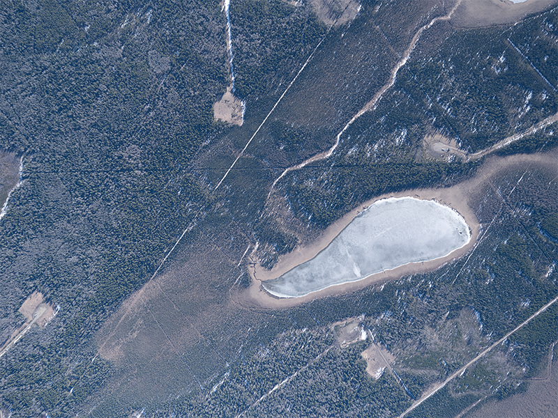
IR Image taken by GFX100 IR
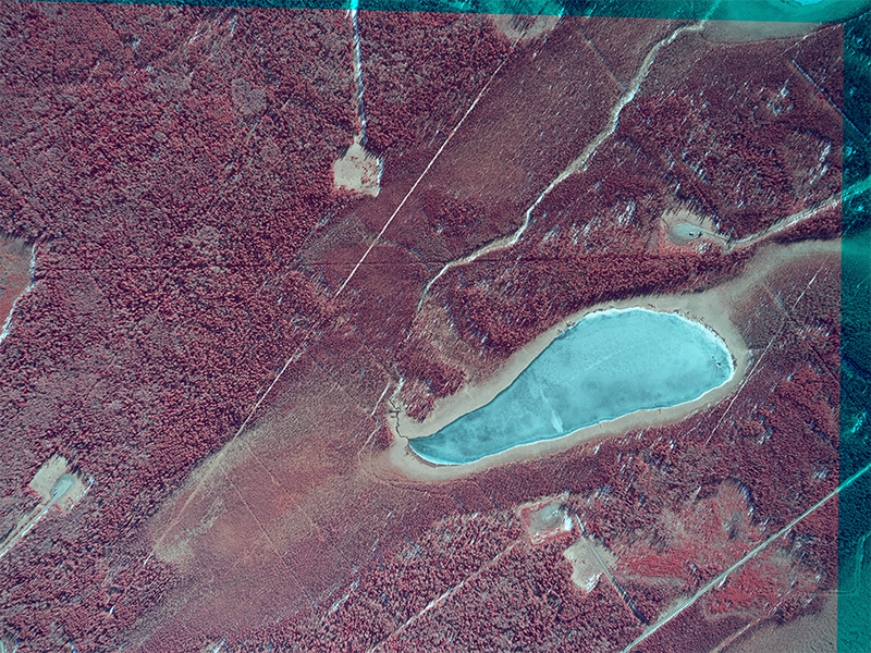
CIR


